Layered topo map maker
Turn a heightmap into stacked laser-cut contour layers for topo map art
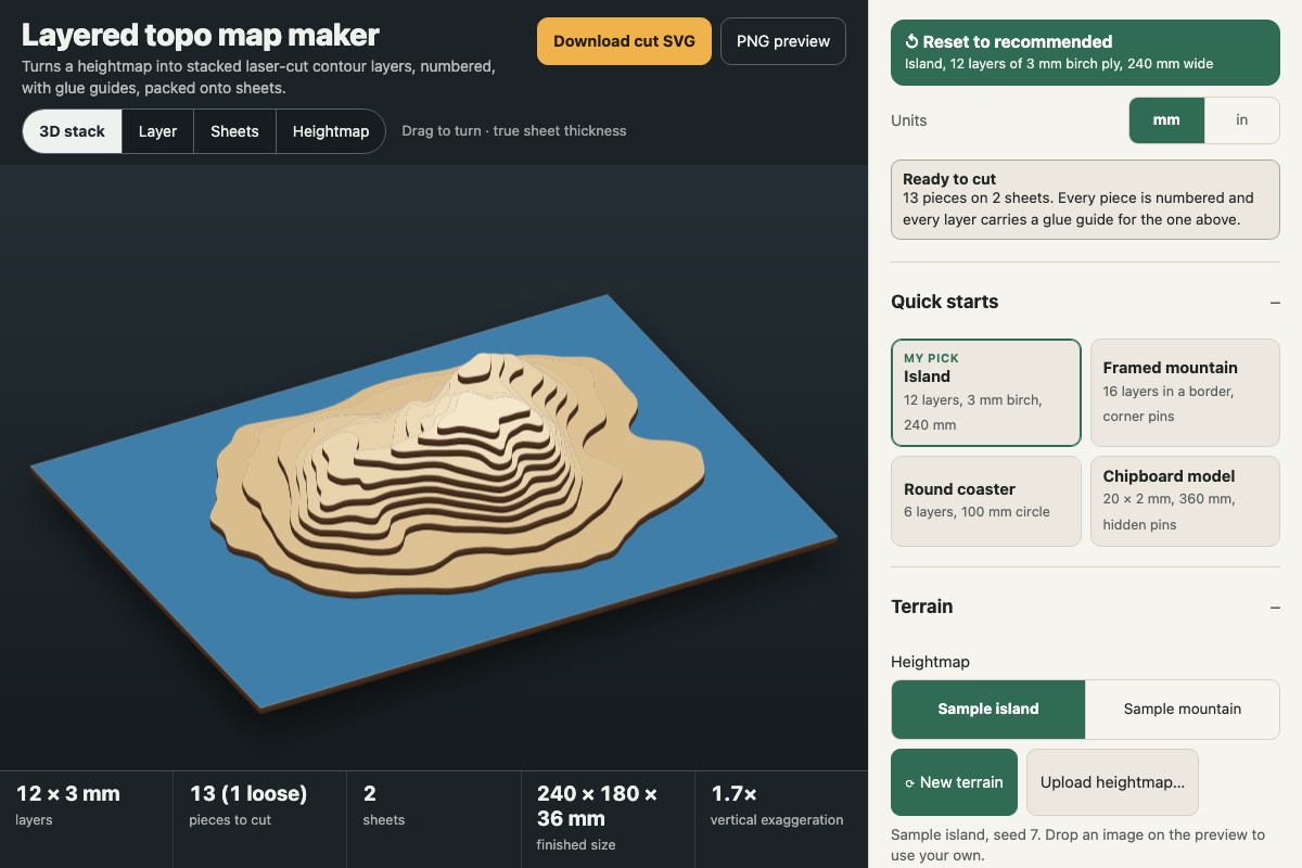
Screenshot of the tool as it opens; it is a real capture, not a mockup.
Thanks, your report was sent.
Report a problem or a newer version
What it makes
A cut-ready SVG in millimetres with every layer of a layered topographic map packed onto bed-sized sheets. Red lines cut each contour piece (with pin holes if you want them), blue lines score a light outline of the layer above as a glue guide, and black strokes engrave each piece's number. Where a number fits under the next layer up, it goes there so it's hidden once glued. The tool also gives single-layer and single-sheet SVGs and a PNG render of the stack at your real sheet thickness.
How to use it
- Start from a quick start (Island is the recommended default), press New terrain for a different sample, or upload a greyscale heightmap (white = high). The Terrain section lists free sources.
- Set the number of layers, your measured sheet thickness, even or area-balanced contour steps, and the water level. Everything below the water level becomes the solid base layer.
- Choose the width and a border: none, a rectangular frame carried on every layer, or a circle crop.
- Adjust smoothing and minimum island area until the pieces look cuttable. Then choose to number loose islands or bridge them to their neighbours, and turn on alignment pin holes if you want them.
- Pick your laser bed, check the Layer and Sheets views, and download the cut SVG. Engrave and score before cutting, then glue each layer onto its blue guide from the bottom up.
Build notes
- The tool can't fetch elevation data. Export a heightmap from Tangram Heightmapper, a terrain.party-style exporter, or USGS 3DEP (via QGIS), or use any greyscale DEM PNG.
- Vertical exaggeration comes from the sheet thickness, the layer count and the real-world map width and relief you enter. Heightmaps don't store those.
- Packing uses each piece's bounding box. Small pieces aren't nested inside the concave gaps of bigger ones, so there's some waste on the sheet.
- Without a frame, pin holes stay on land at every layer they pass through and hide under the layer above. With a frame, they go in the border corners through all layers.
- Works fully offline; nothing is fetched.